Videos from site LA05/2022/0033/F
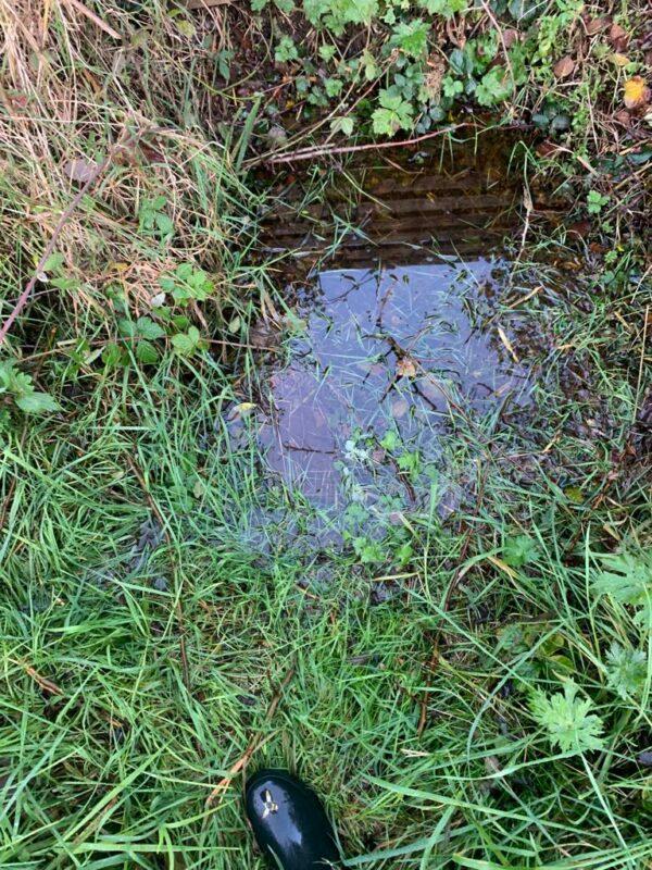
The site is inundated showing standing water throughout. It is squelchy and wet all year round across the site. What happens when the natural biodiversity and soakaways are destroyed.
Residents are concerned as to where this water will go. With adjoining properties lower lying and water systems ancient and over loaded.
Middle of fields at old Hedgerow between fields Maximum depth of water in this area well up a welly boot.
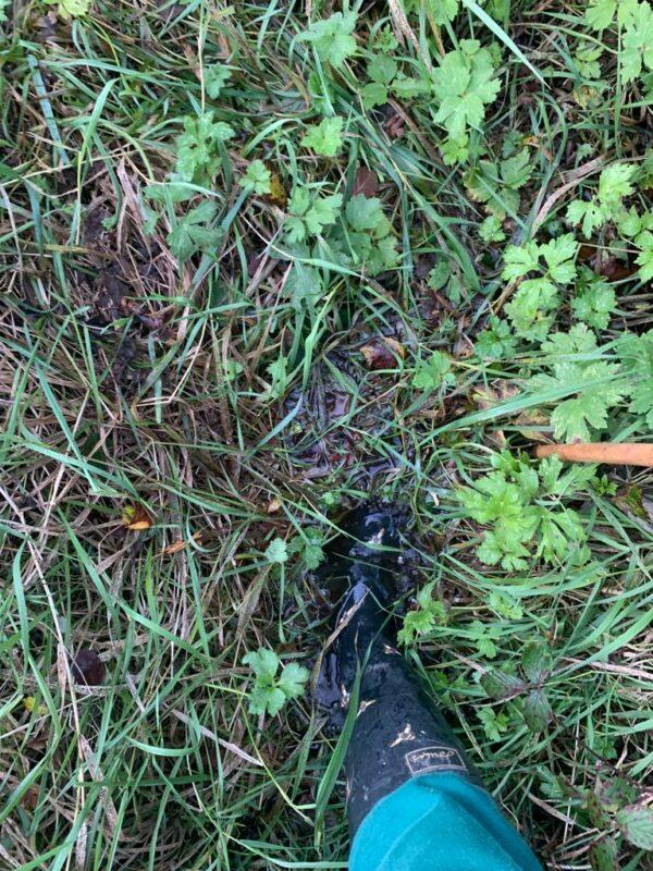
Taken round edge of the proposed development site. recorded 2.11.23 Depth of water in this area i.e. 1 ft and occasionally over welly boot.
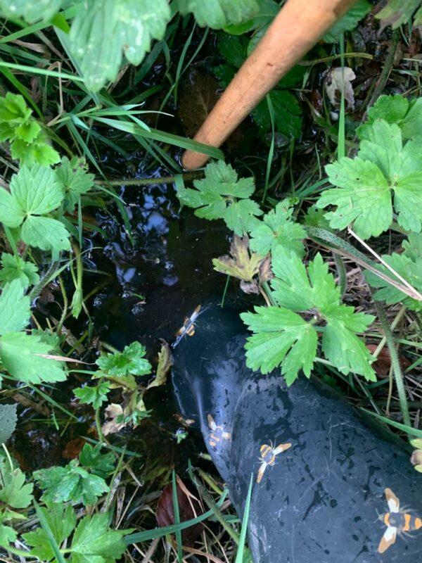
Where old Hawthorn Hedge merges with ditch and perimeter hedge – recorded 2.11.23 Maximum depth of water in this area 6-12 inches.